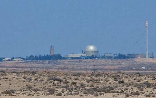
Detailed images of sensitive Israeli sites, including nuclear plant, now online
Trump-era change in US law means high-quality commercial images available; security experts warn it could make Israel more vulnerable
Detailed images of sensitive sites in Israel, such as the Dimona nuclear reactor, are now widely available online due to a Trump-era change in regulations that previously effectively censored satellite images produced by private US companies.
The Kyl–Bingaman Amendment had regulated the resolution of publicly available satellite images for Israel since 1997, until the surprise change in legislation last year.
The amendment had effectively imposed US government censorship on commercial images of Israel, an example of which is the fact that Israeli images on Google Maps often appear blurred in a way that they are not in other countries.
Earlier this year, the Haaretz daily asked Google whether it would upgrade its imagery of Israel in light of the legislative change, but the tech giant said that it had “no plans to share.”
In a statement last week, Mapbox, a provider of online maps for websites, said that the resolution of its images for Israel, the West Bank and Gaza has now been quadrupled.
Having previously only been able to show images at resolutions no greater than 2 meters per pixel, it has now upgraded them to 50 centimeters per pixel, in line with its images of the rest of the world, the company said.
We can finally provide 50 cm imagery over Israel and Palestine. Read about the new imagery from @Maxar in our latest blog post: https://t.co/bmFEJv5Yia pic.twitter.com/ZGgrzZYQm7
— Mapbox (@Mapbox) October 26, 2021
The tech company uses data from Maxar’s WorldView satellites, which it described as “the most advanced, highest-resolution Earth observation instruments of their kind, outside of spy satellites that we don’t know about.”
Some security experts said the upgraded images of Israel could have negative implications for the country’s defense.
“Information that is apparently unclassified makes Israel very vulnerable to the enemy,” Maj. Gen. (ret.) Giora Eiland, a former head of Israel’s National Security Council who served for 33 years in the IDF, including as head of its Strategic Planning Branch, told the Ynet news site.
Former national security adviser Yaakov Amidror warned that the imagery could make it easier for Israel’s adversaries to direct their weaponry.
“The clearer the picture they have of the target, the better they can aim and the greater their ability to inflict damage,” he told Ynet.
The images from Mapbox are not the first to be released of sensitive Israeli sites. Earlier this year, satellite pictures by Planet Labs Inc. showed the secretive nuclear facility at Dimona, supposedly at the center of the nation’s undeclared atomic weapons program, undergoing what appeared to be its biggest construction project in decades.
The International Panel on Fissile Material (IPFM) published similar pictures in February.


comments